
ULTRALINK.
UltraLink.
The Entire Platform
in One Device.
Centimeter-level positioning, satellite connectivity, and fleet intelligence in a single ruggedized unit. The flagship of the Nordian platform, built for Physical AI in hard environments.
ULTRALINK.
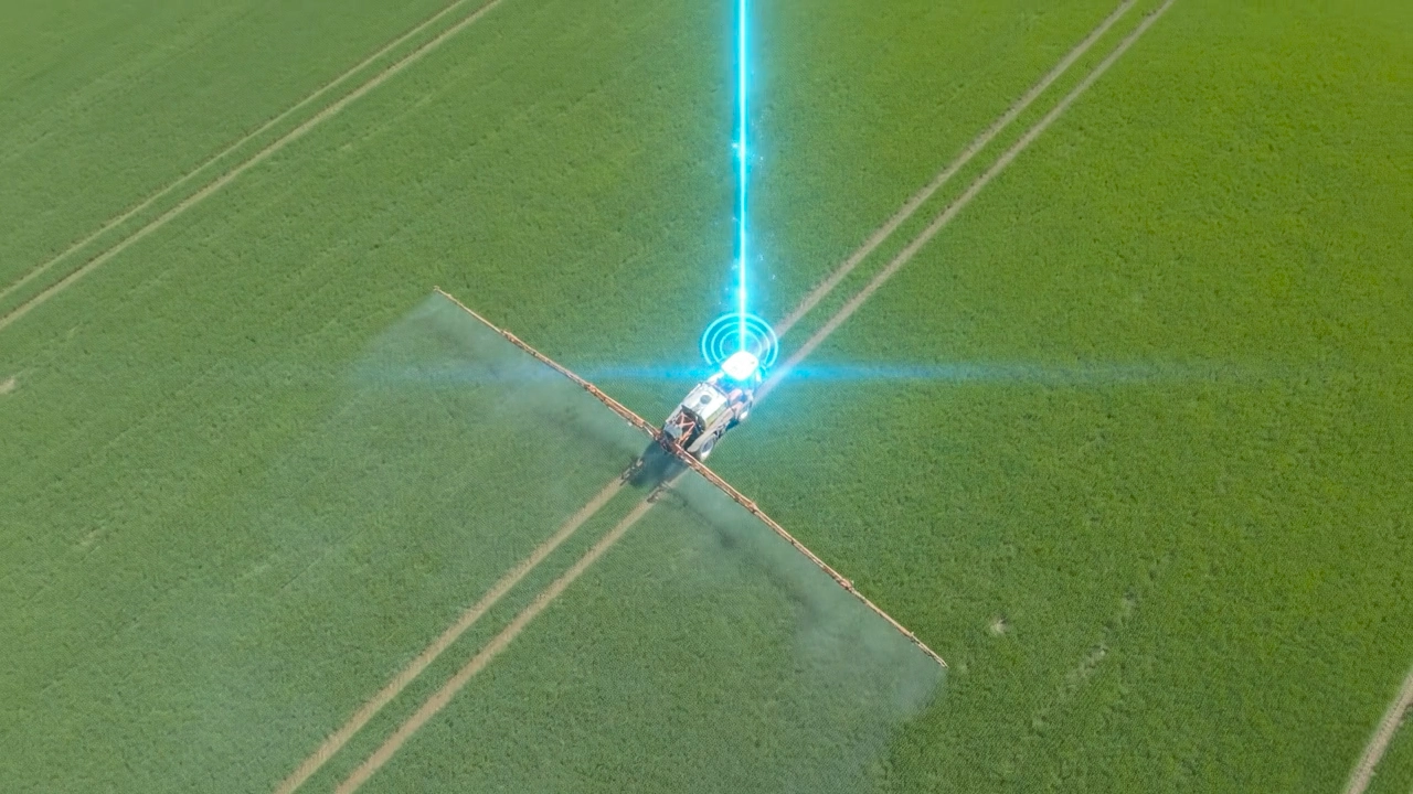
Meet Ultralink.
Find out how our smart ecosystem integrates high-speed satellite connectivity, multi-band GNSS, and AI-powered processing to deliver precision and performance in the most demanding environments.
ULTRALINK.
Main Features.
High-performance connectivity and positioning powered by multi-band GNSS, seamless sensor fusion and satellite communication for stable centimeter-level accuracy anywhere. Designed to keep your operations connected and precise, even in the most remote environments.

Satellite Enterprise Integration
As an enterprise-grade satellite connectivity solution, Nordian delivers reliable global coverage for remote operations. Optimize your OPEX with flexible invoicing, centralized multi-asset management, and smart data pooling—without the limitations of traditional connectivity plans.

High-Rate
Navigation
High-frequency positioning updates combined with integrated inertial sensors ensure stable and responsive navigation, even during abrupt movements and high-speed operation.

Terrain and Tilt Compensation
Advanced compensation algorithms adjust positioning data based on tilt, slope, and uneven terrain, preserving accuracy in challenging terrain conditions.

Integrated Satellite Broadband
High-speed satellite connectivity delivers reliable internet access with low latency, even while in motion. Designed for demanding operations, it ensures continuous data flow across remote and dynamic environments.

Smart Data Pooling
Share your monthly data allowance across your entire fleet, ensuring high-consumption machines are covered by those using less data.
Over-the-Air
Updates
Firmware can be updated remotely through cellular or satellite connectivity, allowing continuous performance improvements without the need for physical access to the device.

Hybrid Correction Engine
Leverages high-speed satellite connectivity for primary RTK/IP corrections, with an automatic seamless fallback to L-band satellite corrections for uninterrupted positioning, even in scenarios of partial or complete network loss.

Centimeter-Level Accuracy
Multi-band and Multi-Constellation GNSS tracking across multiple satellite constellations enables positioning accuracy down to the centimeter level for demanding applications.

High-Speed Industrial Gateway
Features a rugged M12 X-Code Ethernet port and Wi-Fi 6 to distribute network access throughout the vehicle, remote desktop applications, or the job site.

Extreme Environment Ruggedness
IP67-rated enclosure engineered to withstand 100% condensing humidity, heavy vibrations, and industrial/agricultural shock profiles.
ULTRALINK.
Technical Specifications.
ULTRALINK
Technical Specs
Horizontal Accuracy (RMS)
0.03 m*
Pass-to-Pass Accuracy
0.02 m*
RTK Convergence Time
< 10 s*
Acquisition time
< 40 s*
Full-Constellation
GPS, GLONASS, Galileo, BeiDou, QZSS, and SBAS
All-Band Coverage
Full support for L1, L2, L5, and L6
Integrated 6-Axis IMU
Gyroscope: Full-range, ±2000 deg/s
Accelerometer: Full-range, ±16 g
Update Rate
50 Hz (with GNSS + IMU Sensor Fusion)
Network Connectivity
Powered by Starlink Enterprise & Wi-Fi 6
Correction Sources
NTRIP (via Starlink/IP) and L-Band Fallback
Ingress Protection
IP67 (Dust-tight, waterproof, and 100%
condensing humidity)**
Communication Protocols
NMEA 0183 / NMEA 2000 / J1939
I/O Connectivity
1x M12 X-Code Ethernet, 2x Serial Ports,
2x CAN bus ports, PPS, and GSO
Supply Voltage
+9 to 32 VDC
Current and Power Consumption (Typical)
2.9 A, 35 W @ 12 V
Peak Current
11.7 A, 140W @ 12 V
Weight / Dimensions
3.9 kg / 506.2 x 498.7 x 81.7 mm
Operating Temperature
-30 ºC to 70 ºC (-22 ºF to 158 ºF)
* With S2 service tier (NTRIP/L-Band corrections) ** Up to 1m for 30 min


