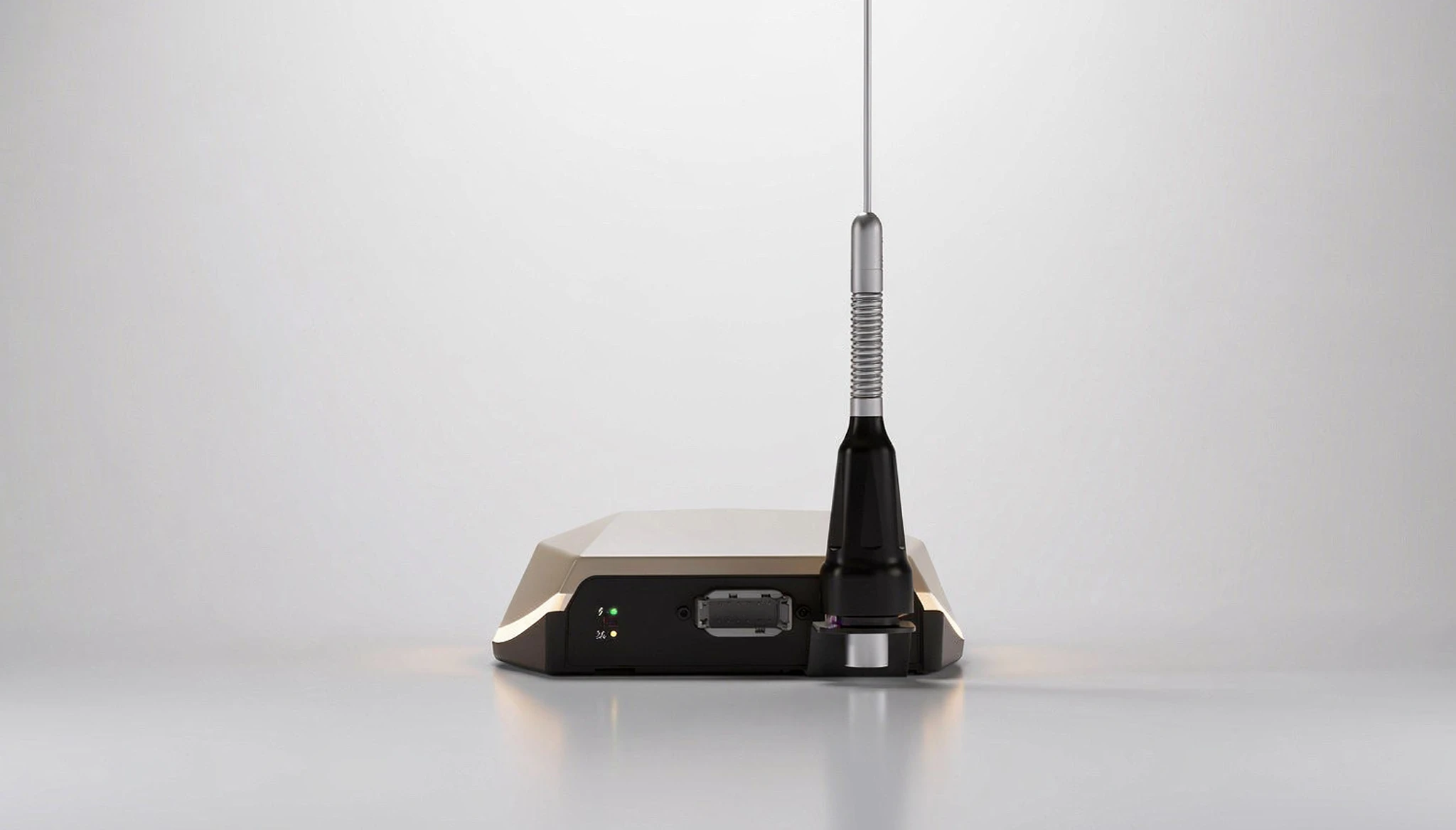
Ultra+ Smart Antenna.
Elite Precision.
Total Connectivity.
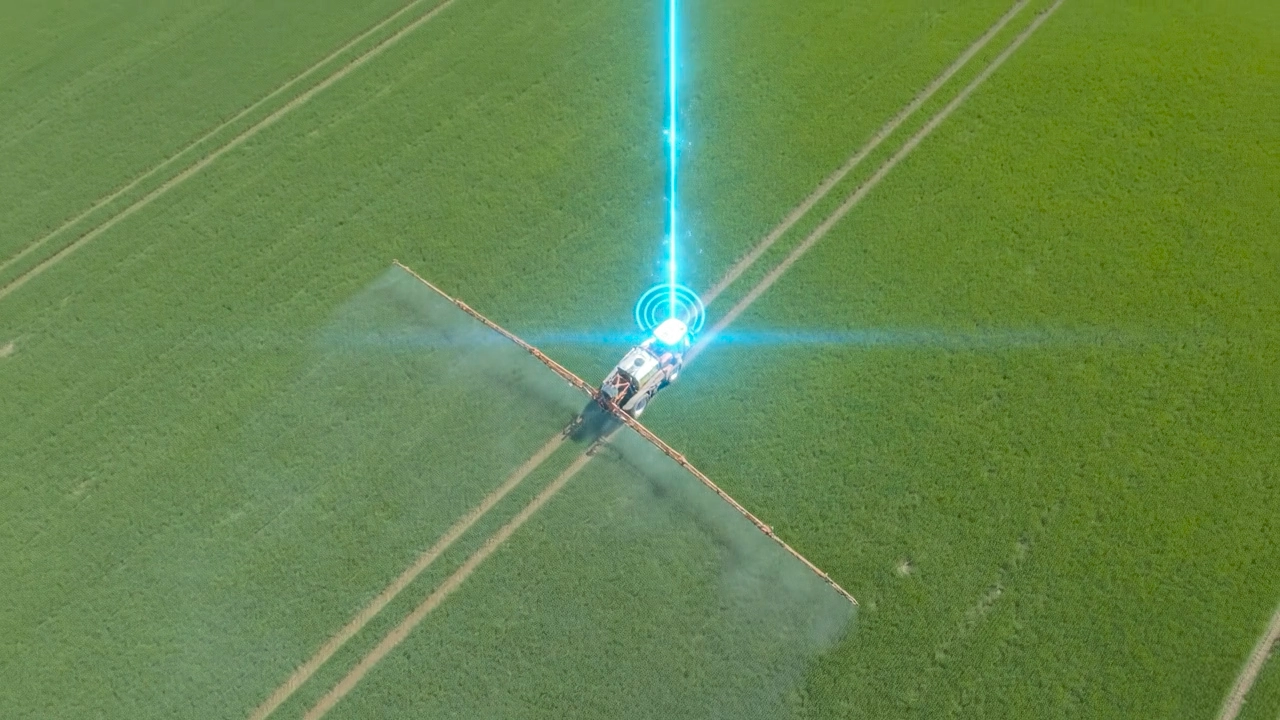
When Precision Is Not Optional.
What Ultra+ Solves.
Delivers centimeter-level accuracy within 30 seconds
Ultra-fast acquisition and re-acquisition
Consistent and smooth positioning you can rely on
Plug-and-play integration into industrial systems
Ultra+ Smart Antenna.
Advanced Connectivity and Centralized Control.

Centralized Management
Dashboard for real-time activation, plan management and remote device locking.

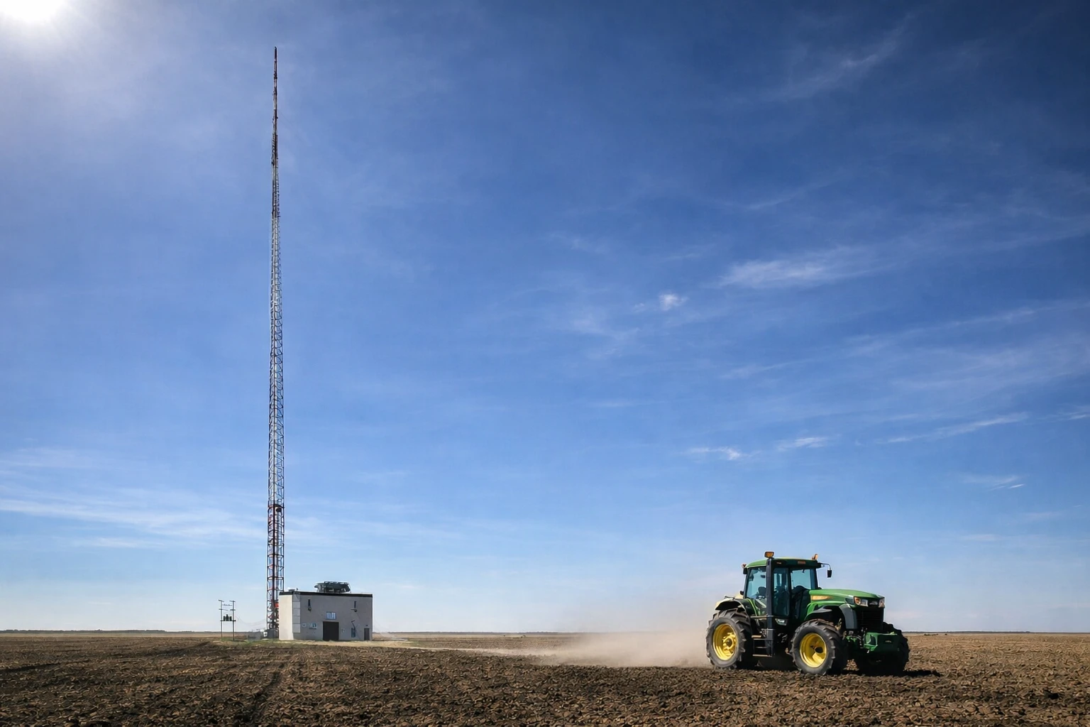
NTN Connectivity
Bi-directional satellite communication for telemetry in areas without cellular or internet coverage.

Remote Updates
Over-the-air updates keep your device improving over time with no service visits or downtime.
Ultra+ Smart Antenna.
Main Features.

Elite 0.01 m Accuracy

High-Rate
Navigation

Terrain and Tilt Compensation

SmoothTrack™
Stability

True
Heading
Over-the-Air
Updates
Integrated UHF Radio
Instant RTK Convergence

NTN Satellite Telemetry

IP67 Rugged
Design
Ultra+ Smart Antenna.
Technical Specifications.
ULTRA+ SMART ANTENNA
Technical Specs
Horizontal Accuracy (RMS)
0.01* m
Pass-to-Pass Accuracy
0.01 m*
Position Repeatability
Year-over-Year
Acquisition time
< 10 s*
Full-Constellation
GPS, GLONASS, Galileo, BeiDou, QZSS, and SBAS
All-Band Coverage
Full support for L1, L2, L5, and L6 (including E6/B3 bands)
Integrated 6-Axis IMU
Gyroscope: Full-range, ±2000 deg/s
Accelerometer: Full-range, ±16 g
Update Rate
50 Hz (with GNSS + IMU Sensor Fusion)
Correction Sources
RTK bases, L-Band and NTRIP
Ingress Protection
IP67 (Dust-tight and waterproof)
Communication Protocols
NMEA 0183 / NMEA 2000 / RTCM
I/O Communication
2x Serial Ports, 1x CAN bus port, PPS, GSO, and UHF Radio
Input Voltage
+7 to +32 VDC
Current and Power Consumption (Typical)
500 mA, 6 W
Peak Current
0.8 A @ 12 V
* With RTK base correction ** Up to 1m for 30 min
Ultra+ Smart Antenna.
Related Links.
Datasheet
Documentation
Application Notes